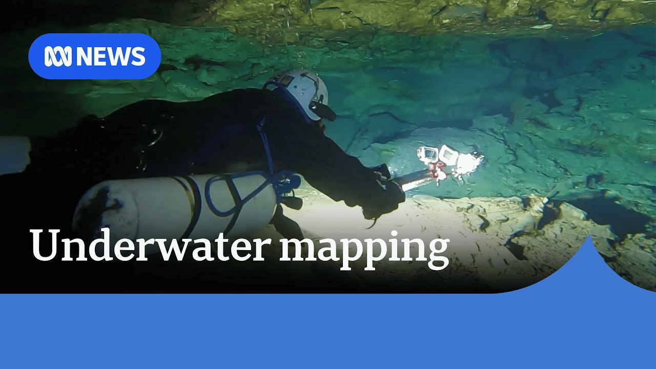
Australian divers map underwater cave systems beneath South Australian city streets
A team of divers in South Australia's south-east is using photogrammetry—action cameras and computer modeling—to create detailed 3D maps of underwater cave networks running beneath the region's city streets, according to ABC News Australia. Per ABC News Australia, the project aims to improve safety for recreational and professional divers by providing accurate navigation data and to educate the public about the subterranean geology beneath populated areas.
📹 Source Video
This story is based on a single ABC News Australia source. Key claims have not been independently corroborated by US mainstream media, though the event is factually straightforward and low-risk.
✓ Verified
- ✓A team of divers in South Australia's south-east is using action cameras and computers to map underwater caves. (Source: ABC News Australia)
- ✓The project uses photogrammetry technology to create 3D models of cave systems. (Source: ABC News Australia)
- ✓The caves run beneath city streets in the region. (Source: ABC News Australia)
- ✓The goal is to improve diver safety and provide public education. (Source: ABC News Australia)
~ Interpretation
- ~The maps will improve safety for divers. (Source argument: ABC News Australia frames unmapped caves as a safety hazard)
- ~Public access to cave maps may increase tourism or educational interest. (Source argument: ABC News Australia states the team hopes to 'give the public a glimpse below the surface')
▸▾Why this is here
Learn about our confidence system → · What qualifies a story →
Stay with this story
Response links are not endorsements. They are restrained ways to learn more, track updates, and ask better questions.
Eligibility: Unknown story types default to learning and tracking only. View taxonomy →
Did this feel useful, agenda-driven, or unclear?
Get stories like this every morning.
Free daily briefing, 5 minutes, no spin.
Free. No spam. Unsubscribe anytime.