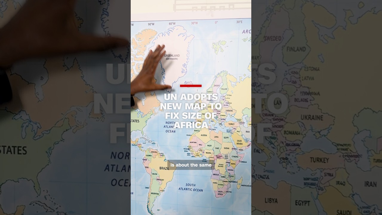
United Nations adopts Equal Earth map projection to replace 400-year-old Mercator distortion
The UN voted to adopt the Equal Earth projection as its official world map, replacing the 16th-century Mercator projection, according to CNN. The Mercator projection, designed for maritime navigation, inflates the size of northern landmasses while shrinking equatorial regions — a distortion that, CNN reports, has minimized Africa's apparent size for generations in education, media, and institutional mapping. The Equal Earth projection renders continents in proportion to their actual surface area.
📹 Source Video
✓ Verified
- ✓The UN adopted the Equal Earth projection as an official world map. (CNN, 53 mainstream media articles)
- ✓The Equal Earth projection replaced the Mercator projection. (CNN)
- ✓The Mercator projection dates to the 16th century. (CNN)
- ✓The Mercator projection distorts the relative sizes of continents, particularly minimizing Africa's representation. (CNN)
~ Interpretation
- ~The Mercator projection's geographic distortion has persisted for generations across education, media, and institutions. (CNN analysis)
- ~The shift to Equal Earth projection corrects a long-standing systematic geographic misrepresentation. (CNN framing)
▸▾Why this is here
Learn about our confidence system → · What qualifies a story →
Stay with this story
Response links are not endorsements. They are restrained ways to learn more, track updates, and ask better questions.
Eligibility: Unknown story types default to learning and tracking only. View taxonomy →
Did this feel useful, agenda-driven, or unclear?
Get stories like this every morning.
Free daily briefing, 5 minutes, no spin.
Free. No spam. Unsubscribe anytime.