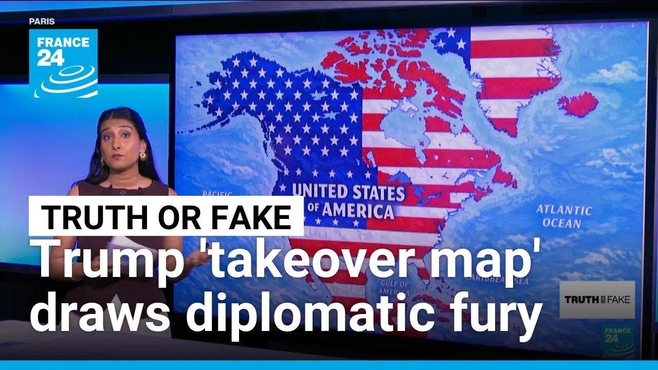
Trump posts AI map depicting US absorption of Canada, Greenland, Iceland, triggering diplomatic backlash
Donald Trump shared an AI-generated map on Monday depicting the United States absorbing Canada, Mexico, Greenland, Iceland, Cuba, and parts of the Caribbean into a unified territory, posted without explanation. Iceland summoned its ambassador in response, Mexico reaffirmed its sovereignty, and Denmark objected to the representation of Greenland.
📹 Source Video
✓ Verified
- ✓Trump shared an AI-generated map depicting US territorial expansion. (Source: France 24; corroborated by 63+ US mainstream media articles)
- ✓The map showed Canada, Mexico, Greenland, Iceland, Cuba, and Caribbean territories incorporated into the US. (Source: France 24; corroborated by multiple US outlets)
- ✓Iceland summoned its ambassador in response. (Source: France 24)
- ✓Mexico reaffirmed its sovereignty. (Source: France 24)
- ✓Denmark objected regarding Greenland's depiction. (Source: France 24)
~ Interpretation
- ~The post 'sparked diplomatic backlash'—indicates source characterization of the reaction intensity and scope.
▸▾Why this is here
Learn about our confidence system → · What qualifies a story →
Stay with this story
Response links are not endorsements. They are restrained ways to learn more, track updates, and ask better questions.
Share responsibly
Share the story with context, not outrage. Include what is known and what remains unclear.
Eligibility: Contested political stories are limited to learning, tracking, and careful sharing. View taxonomy →
Did this feel useful, agenda-driven, or unclear?
Get stories like this every morning.
Free daily briefing, 5 minutes, no spin.
Free. No spam. Unsubscribe anytime.