YouTubeREPORTED
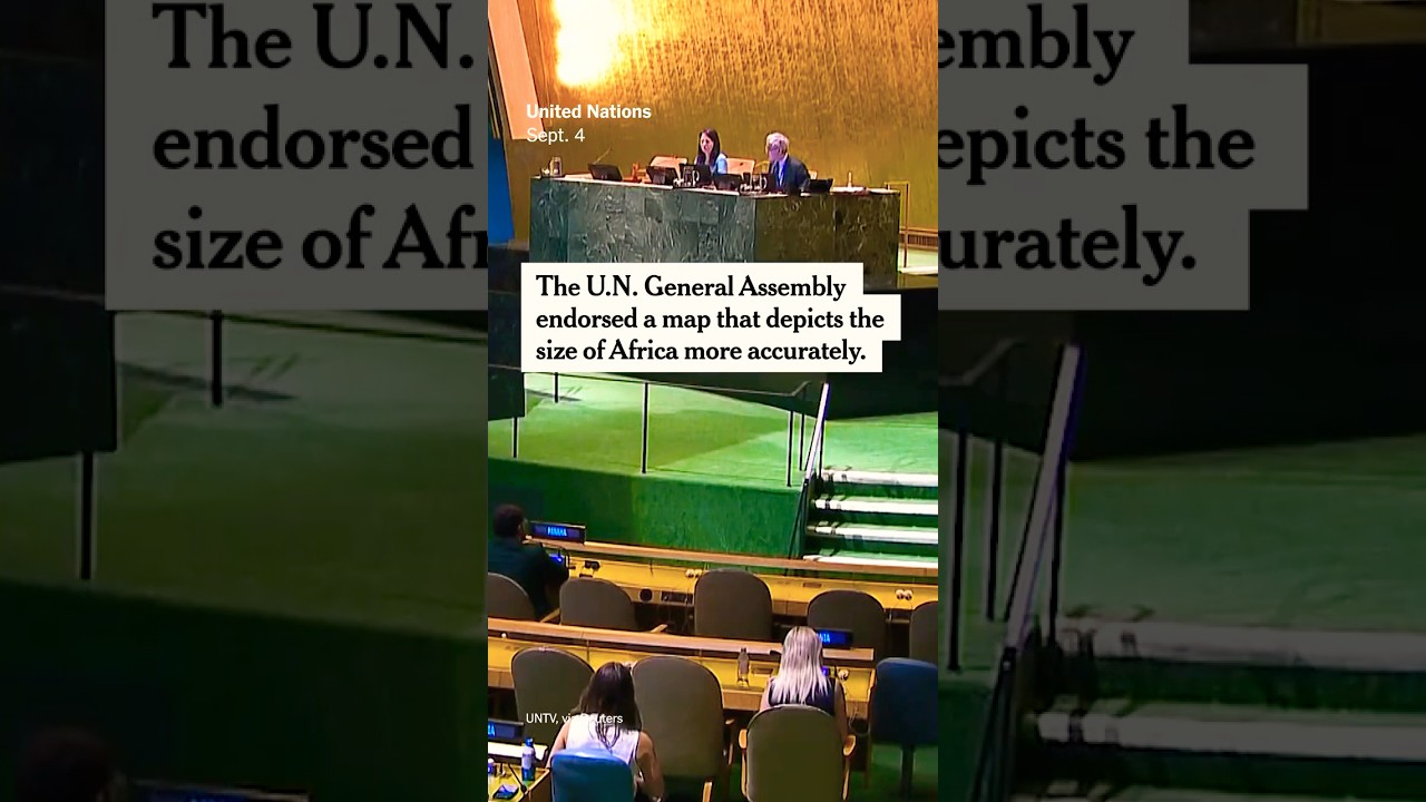
UN General Assembly endorses Equal Earth map projection for accurate country sizes
The UN General Assembly has endorsed the Equal Earth projection, a map that displays countries' sizes proportionally to one another. The new projection differs from the centuries-old Mercator map, which critics argue distorts Africa's actual size.
📹 Source Video
▸▾Why this is here
Source@nytimes
Source typeGeneral Newsroom·T6
Content typeReported
ConfidenceReported
CoverageNot yet checked
PublishedSeptember 6, 2026 at 7:13 AM PDT
Learn about our confidence system → · What qualifies a story →
Stay with this story
Response links are not endorsements. They are restrained ways to learn more, track updates, and ask better questions.
Questions are reviewed before any public use.
Eligibility: Unknown story types default to learning and tracking only. View taxonomy →
Did this feel useful, agenda-driven, or unclear?
Get stories like this every morning.
Free daily briefing, 5 minutes, no spin.
Free. No spam. Unsubscribe anytime.